The Powerline Trail on Kauai is a hardscrabble trail that cuts across a swath of the island from the Keahua Arboretum to Princeville. That’s right, there’s a trail that links these two disparate points!
The trail is actually an old road that follows a powerline (hence the name). However, don’t let the word “road” fool you. At one time the trail was a road, and there are still sections of the trail that look like a road.
At one time, local residents in off-roading clubs would take their super-modified four-wheel-drive vehicles up the trail. But that was years ago, and nature has reclaimed this seldom-used trail in recent years. (Do not attempt to drive this trail under any circumstances.)
Why you should do it: Tough jungle slog has occasional grand views of the interior of Kauai.
Area: Wailua / Princeville
Trail Length: 10.5 miles
Difficulty: Difficult
The Powerline Trail does not see enough foot traffic to beat back the vegetation. In fact, it doesn’t look like there is any discernible traffic at all. Only occasionally does a trail runner or intrepid hiker make the journey. This trail is the definition of “lightly trafficked.”
Adding to the difficulties of this trail, this area in the interior of Kauai receives a substantial amount of precipitation. When you’re not beating back the vegetation, you’re dodging or wading through ankle-deep puddles of mud. Often you’re doing both, clawing your way up embankments on all fours.
But there is a payoff for all the hard work – amazing vistas of Kauai’s green, mountainous interior on portions of the hike! (On other portions of the trail you will be surrounded by dense vegetation with no views.)
The Powerline Trail is one of the hardest hikes on the island of Kauai. Do not underestimate the time, or the resources you will need to hike the entire trail. Wear long pants if you can to protect against vines and vegetation. Take at least 3 liters of water. Take extra energy bars. And whatever your time is on a “normal” ten-mile hike, add a couple of hours for this trail.
With the ends of the trail at substantially different points on Kauai, we recommend a prearranged drop off or pick up. In our opinion, it makes more sense to be dropped off at the Keahua Arboretum trail head and hike towards Princeville where a pick up can be arranged (or if you’re staying in Princeville just hike the rest of the way to your accommodations).
Another option is to do an out-and-back of a couple of miles from either end. The ends of the trail are the best-maintained parts of the trail and most closely resemble a road. But don’t let the roads fool you at either end.
The middle part of the trail is a real slog fest and we really don’t recommend doing the entire trail unless you are some kind of ultra athlete or trail runner, or you are just a person who likes a real challenge.
We have not hiked the complete trail, just the south and north ends of the trail. However, we have talked with several hikers who have completed the entire trail. One hiker, who is about experienced as they get, was almost angry after finishing the “onerous” trail.
The hiker said it appeared that no one had been on the trail in a long time and that he spent a good amount of time on all fours crawling up and down muddy, overgrown hills. Another hiker, with substantial knowledge of the area, warns about getting lost (and dying) on the trail in the vast interior of Kauai, as the middle portion is almost indiscernible in places.
If you do attempt the entirety of the trail, have a reliable GPS capability at hand.
The Princeville trailhead is somewhat better maintained as it has become a semi-popular mountain biking area. Volunteers, including the Hanalei Bike Doktor, frequently work on the Powerline Trail and assorted side trails.
You can hike approximately two miles into the trail from the Princeville side with little problem before the trail appears to almost abruptly end. Be careful not to get lost if you decide to explore some side trails.
Powerline Trail From South
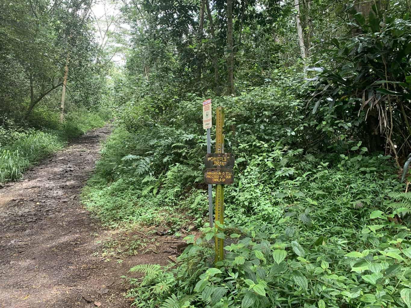
The south trail head near the Keahua Arboretum is about a quarter mile past the arboretum on your right.
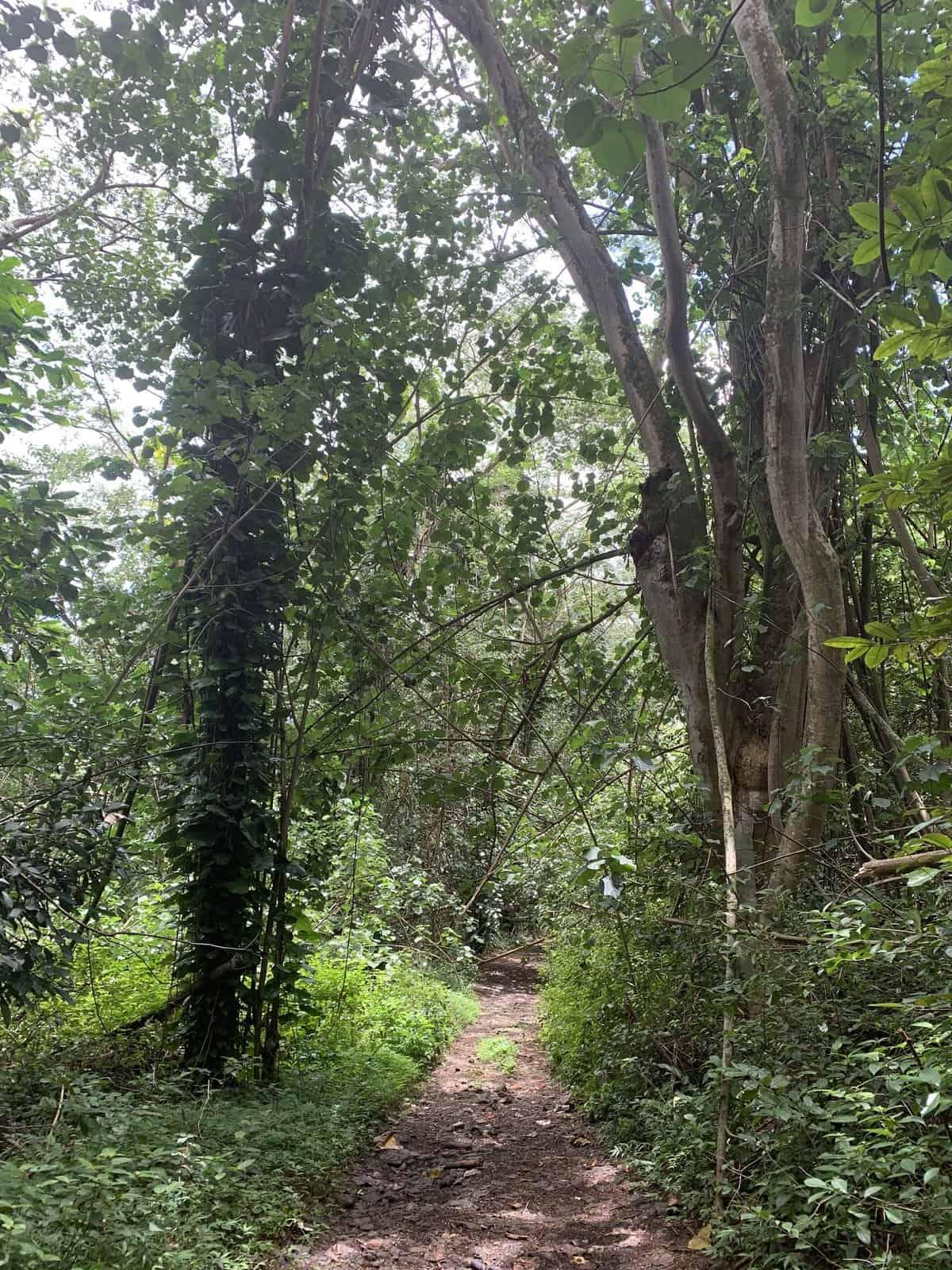
The first part of the trail still looks like a road.
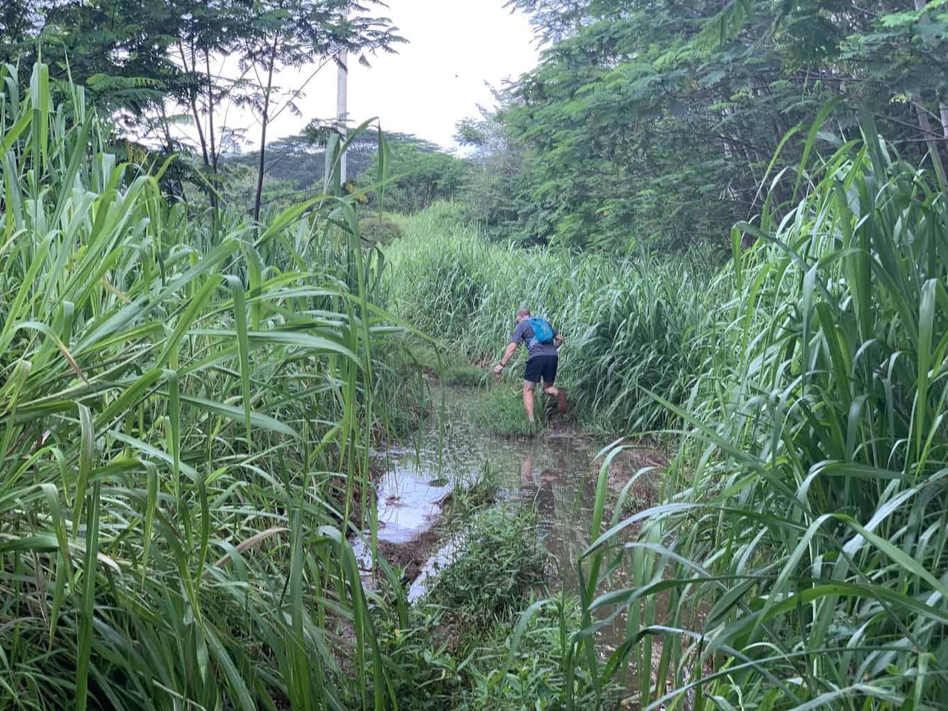
But the trail quickly dissolves into mud and puddles of water.
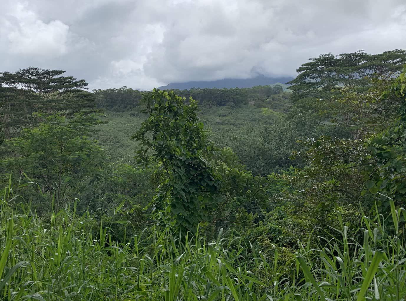
The Powerline Trail (south) has verdant views of the interior of Kauai, if you’re not surrounded by dense vegetation.
Powerline Trail From North
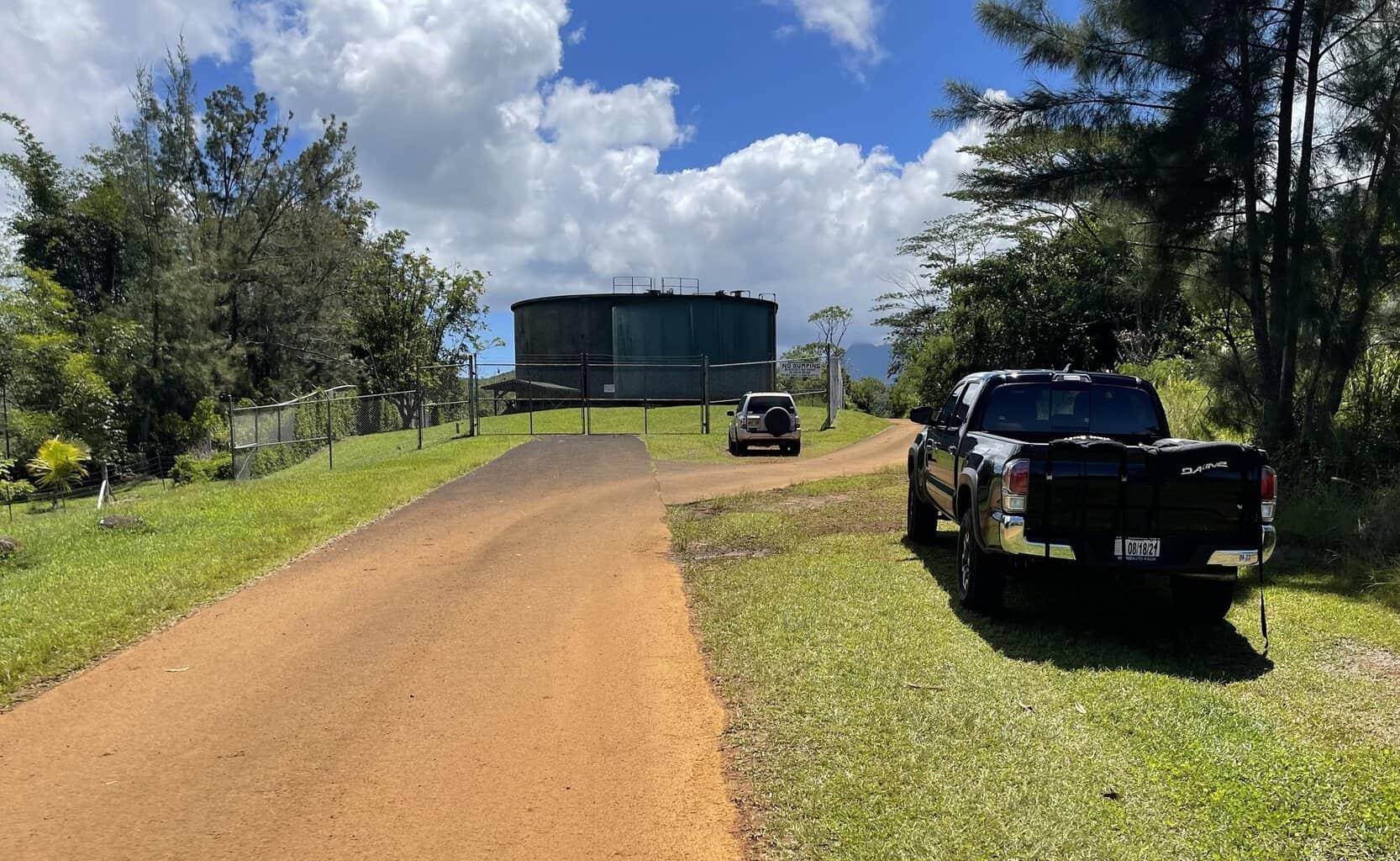
The trail starts behind the water storage tanks at the end of Kapaka Street in Princeville. (Location at Google Maps)
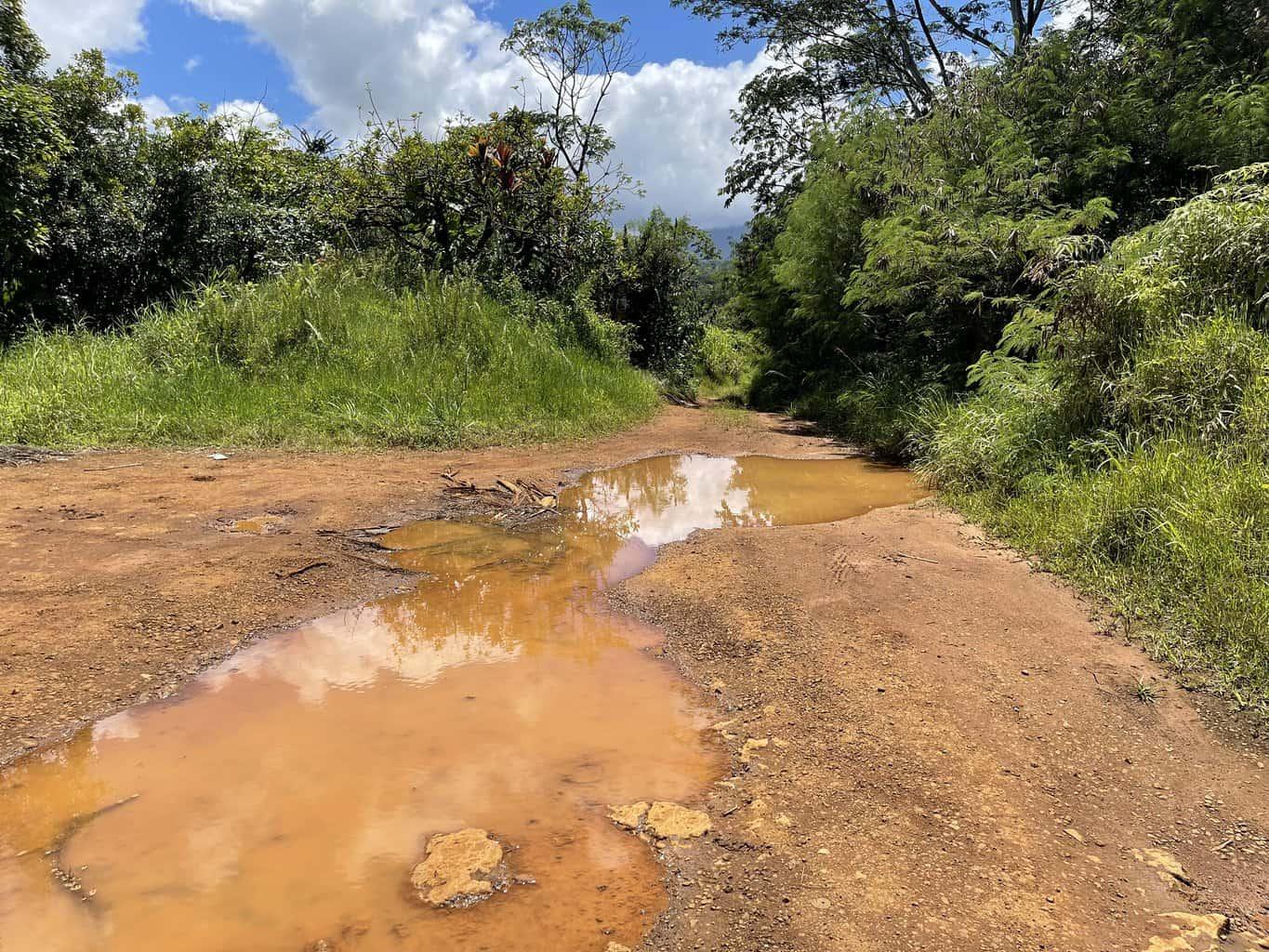
The trail is actually a dirt (muddy) road.
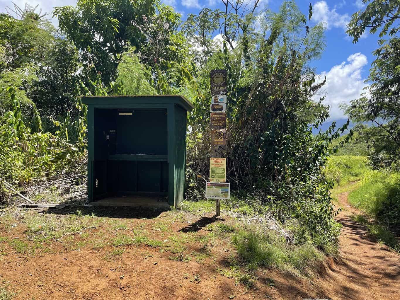
Soon after the water storage tanks you will see a hunter’s box.
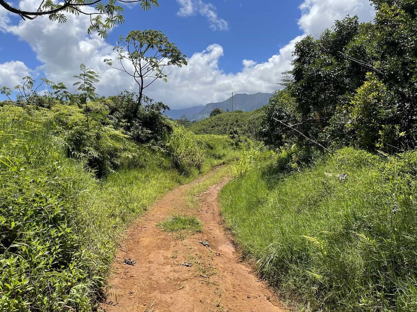
Though it’s highly not recommended, a few people still drive their vehicles on the first part of the trail.
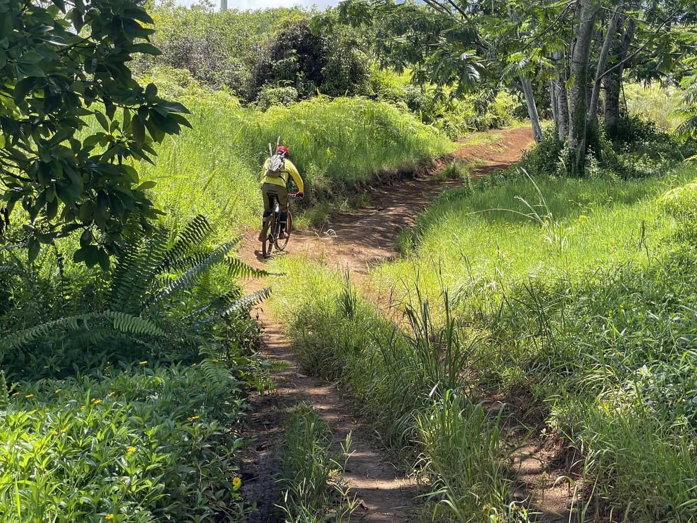
The area is becoming a popular mountain biking area thanks to local volunteers who maintain the trails.
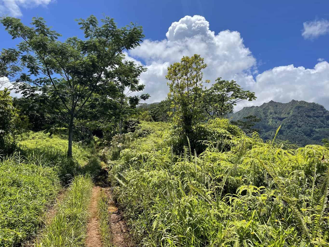
Dense vegetation hinders far-off views on many parts of the trail.
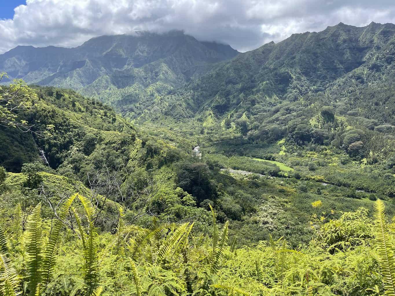
This is perhaps the most outstanding view from the trail. It is a view of the upper Hanalei River Valley. There is a waterfall on the left of the photo.
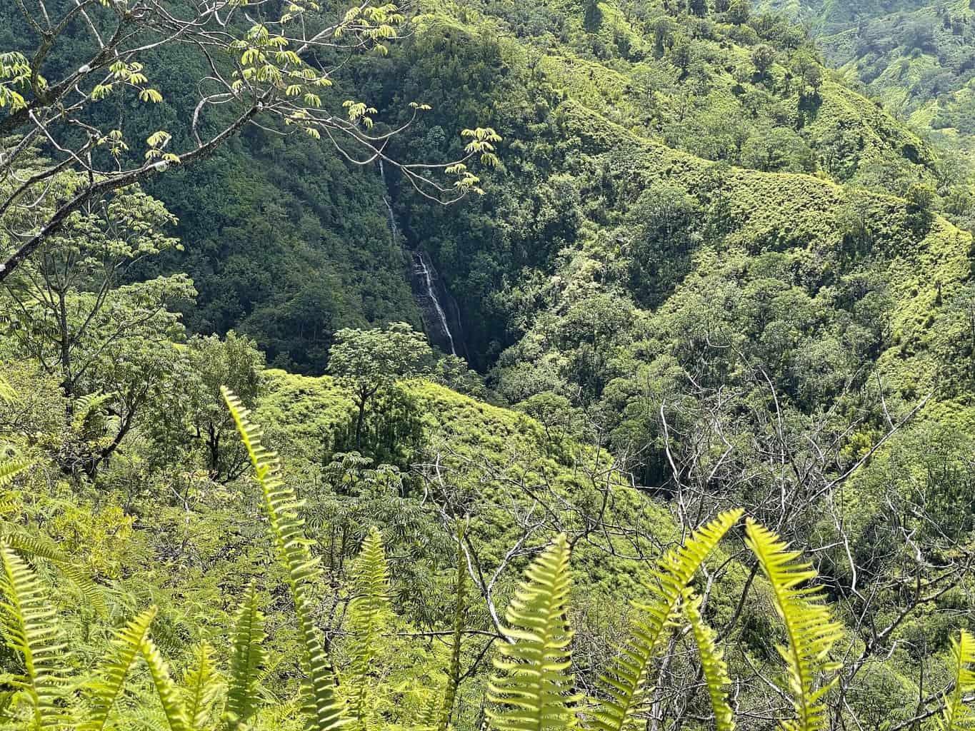
The location of the view of the Hanalei River Valley.
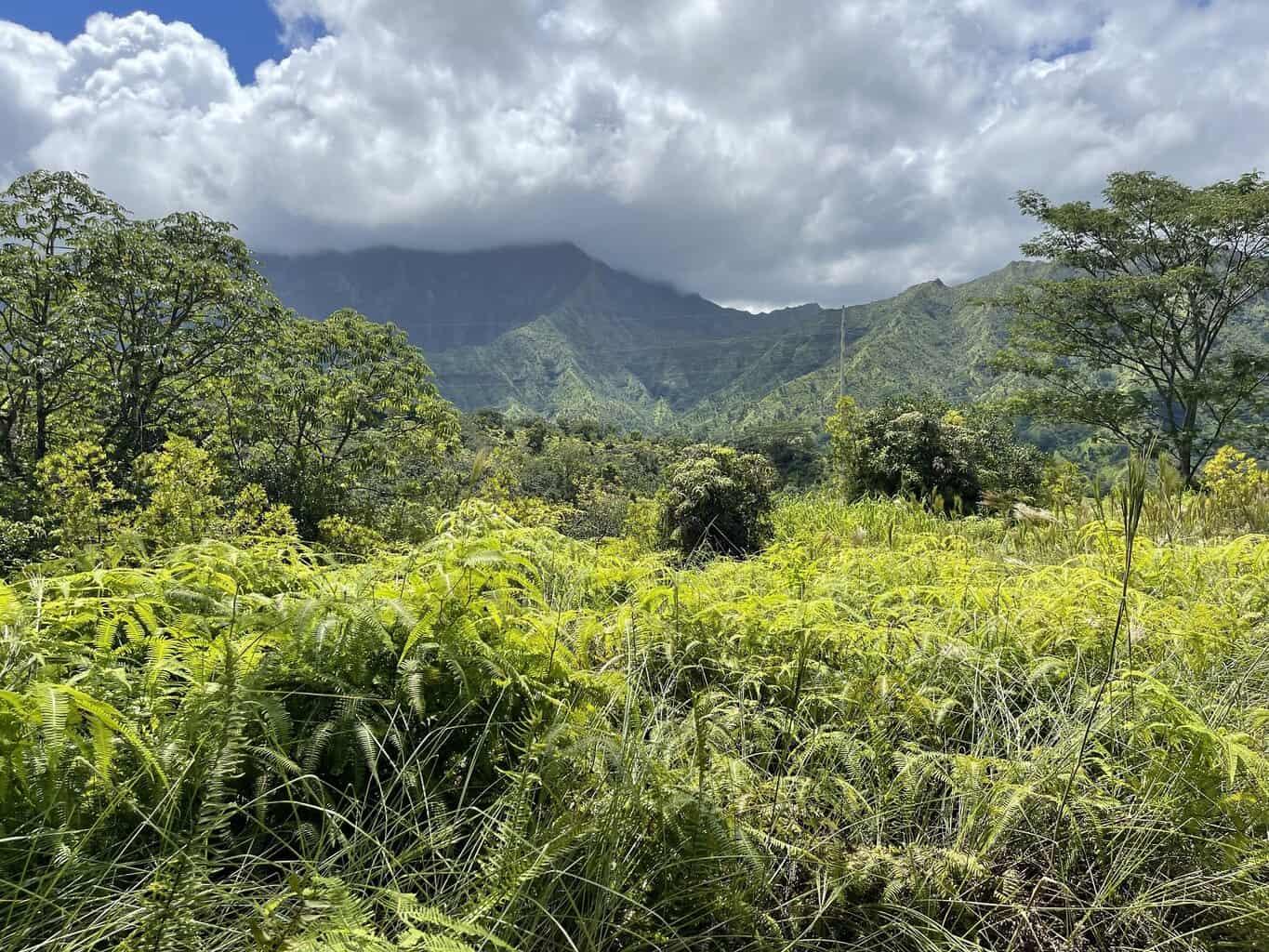
Power lines are ever-present on this aptly-named trail.
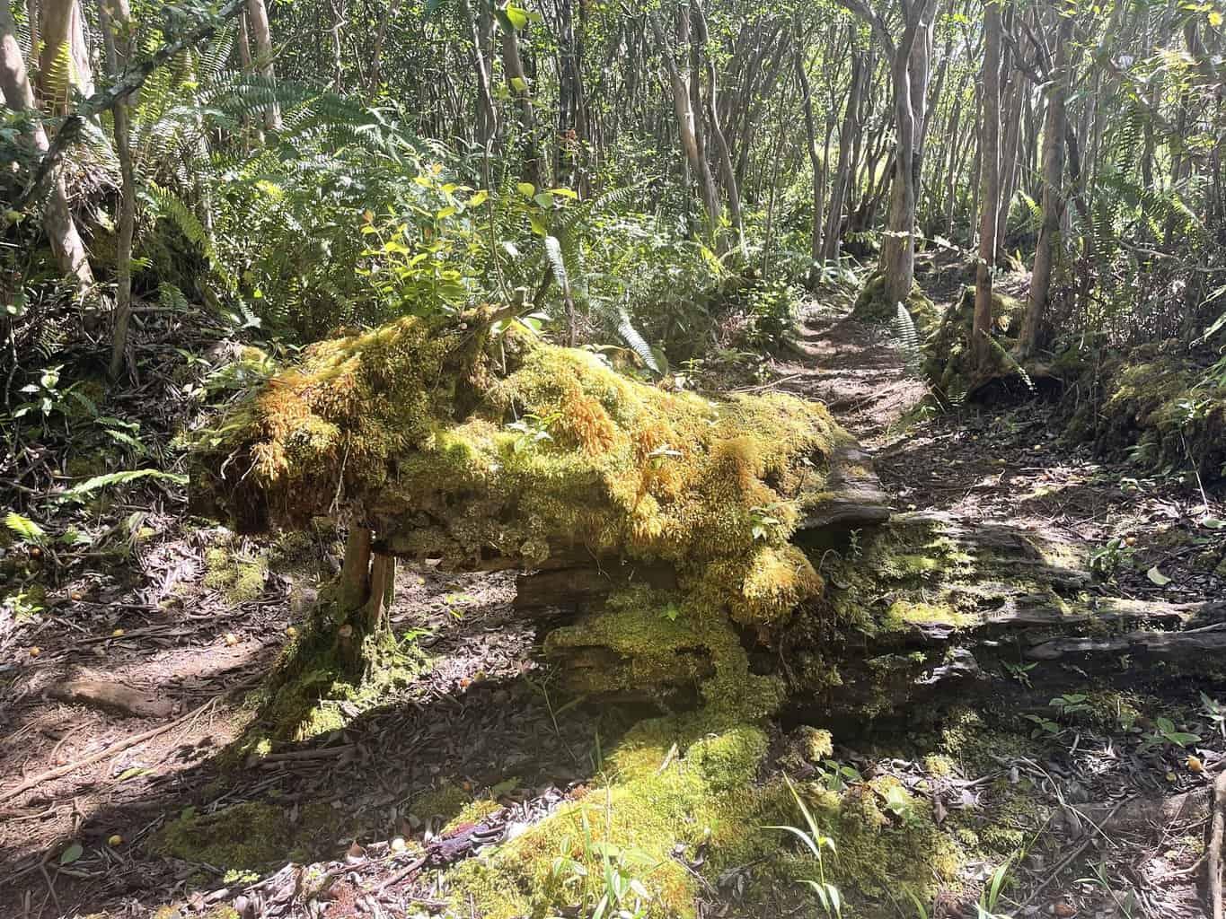
There are many smaller trails that branch off from the main road of the Powerline Trail. Many are used for mountain biking. It’s easier than you think to get lost when you explore other trails in the area. Be smart, don’t venture too far off the beaten path. Use a GPS-enabled device if you have one.
It’s a dirt road with mostly limited views. For a better experience try the nearby Okolehao Trail. For a comparable experience but with the vast interior views of Kauai, try the Kuilau Ridge Trail near the Keahua Arboretum.
