The Alakai Swamp Trail takes you into the interior of Kauai where you will be treated to peace and solitude in a rainforest filled with ferns and greens. It’s a great hike for nature lovers who have an eye for plant life and bird watching. At an altitude of over 4,000 feet, the Alakai Swamp is the highest swamp in the world.
Why you should do it: Rain forest hike with abundant greens and ferns takes you into the interior of Kauai.
Area: Kokee State Park
Trail Length: 3.5 miles (one way)
Difficulty: Intermediate to Difficult (depending on the weather)
What To Bring:
- Camera
- Water
- Snacks
- Rain gear (recommended)
- Appropriate footwear
The trail begins where the Pihea Trail ends. Much of the trail has a boardwalk, making for an easy walk on these portions. After about a mile you will encounter a four-way juncture. Take a left to continue on the Alakai Swamp Trail that will eventually lead you to the Kilohana Lookout.
After taking the left at the juncture, you will descend boardwalk stairs to a stream. Ascend on the other side of the stream to continue your trek to the lookout. (Do not attempt to cross the stream if the water is flowing too fast or the area is flooded.)
The boardwalk picks up again after you make the climb from the stream. The trail continues through an open area plateau with little overhead vegetation. This is the true swamp area of the Alakai Swamp Trail. If not for the boardwalk, you would be slogging through knee-deep mud.
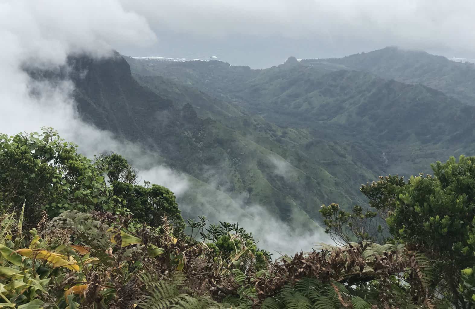
Exercise caution while walking along the boardwalk as there are portions that are damaged. The trail abruptly ends at the Kilohana Lookout, with a magnificent view of the Wainiha Valley and all the way to Hanalei Bay and beyond if conditions are clear. If conditions are not clear, you will be met with a wall of clouds (nevertheless still an awesome sight).
This is a very wet area with the potential for rain and mud. Clear days will offer a much easier trek, and rainy days will offer a much more difficult time slogging through the slippery trail and mud. Bring rain gear nevertheless because you can never be sure what you will get.
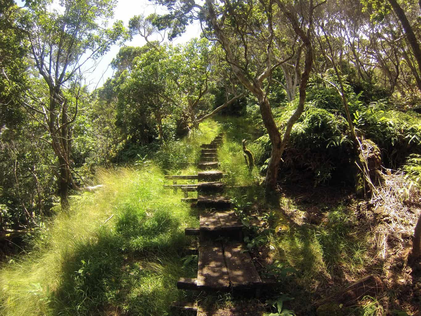
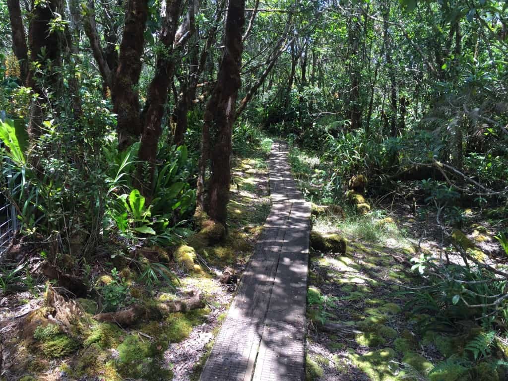
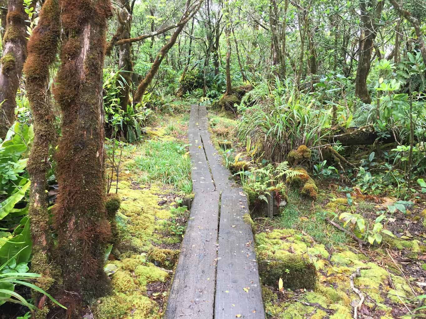
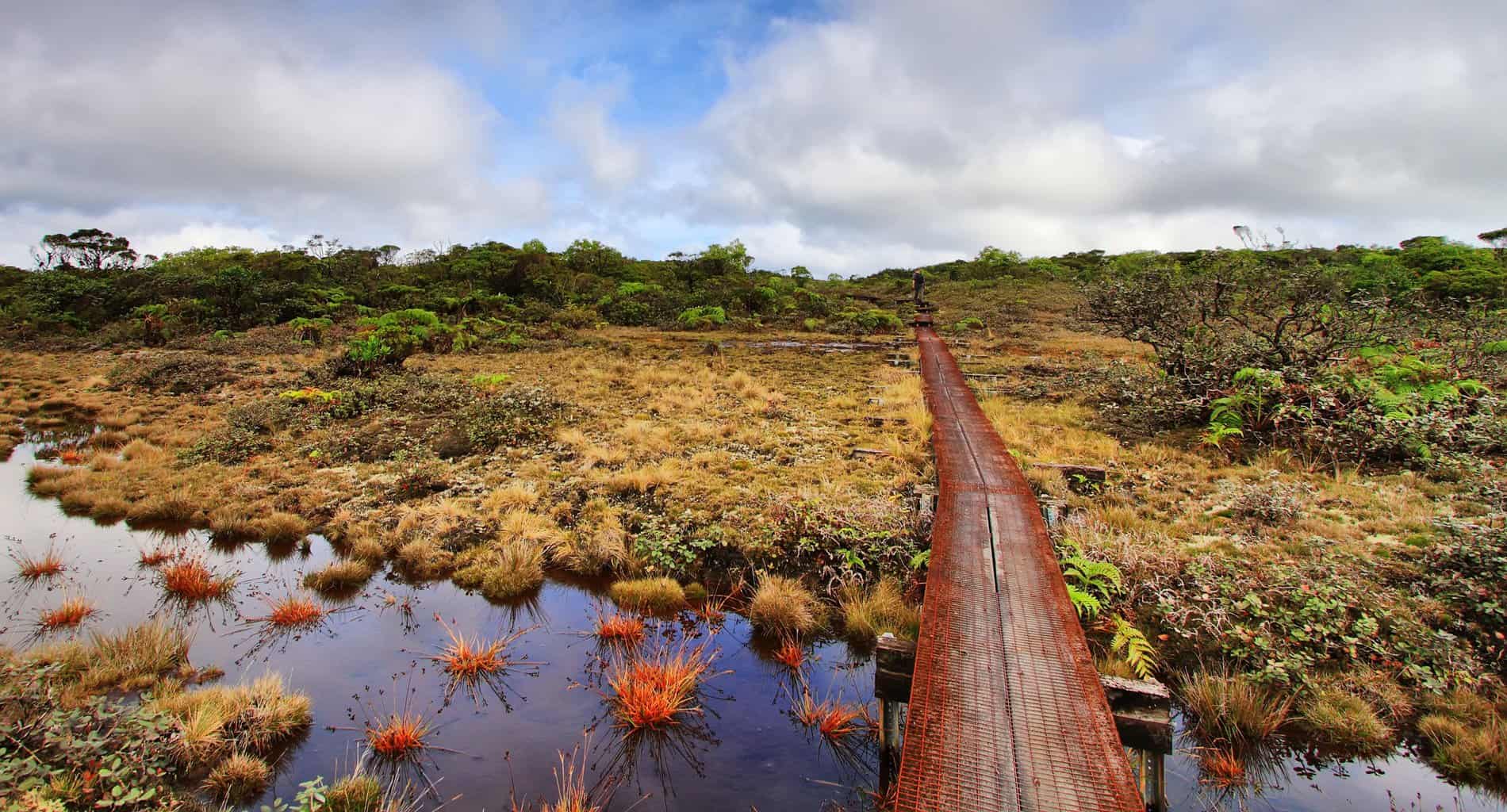
Much of the trail is on boardwalks above the swampy ground.
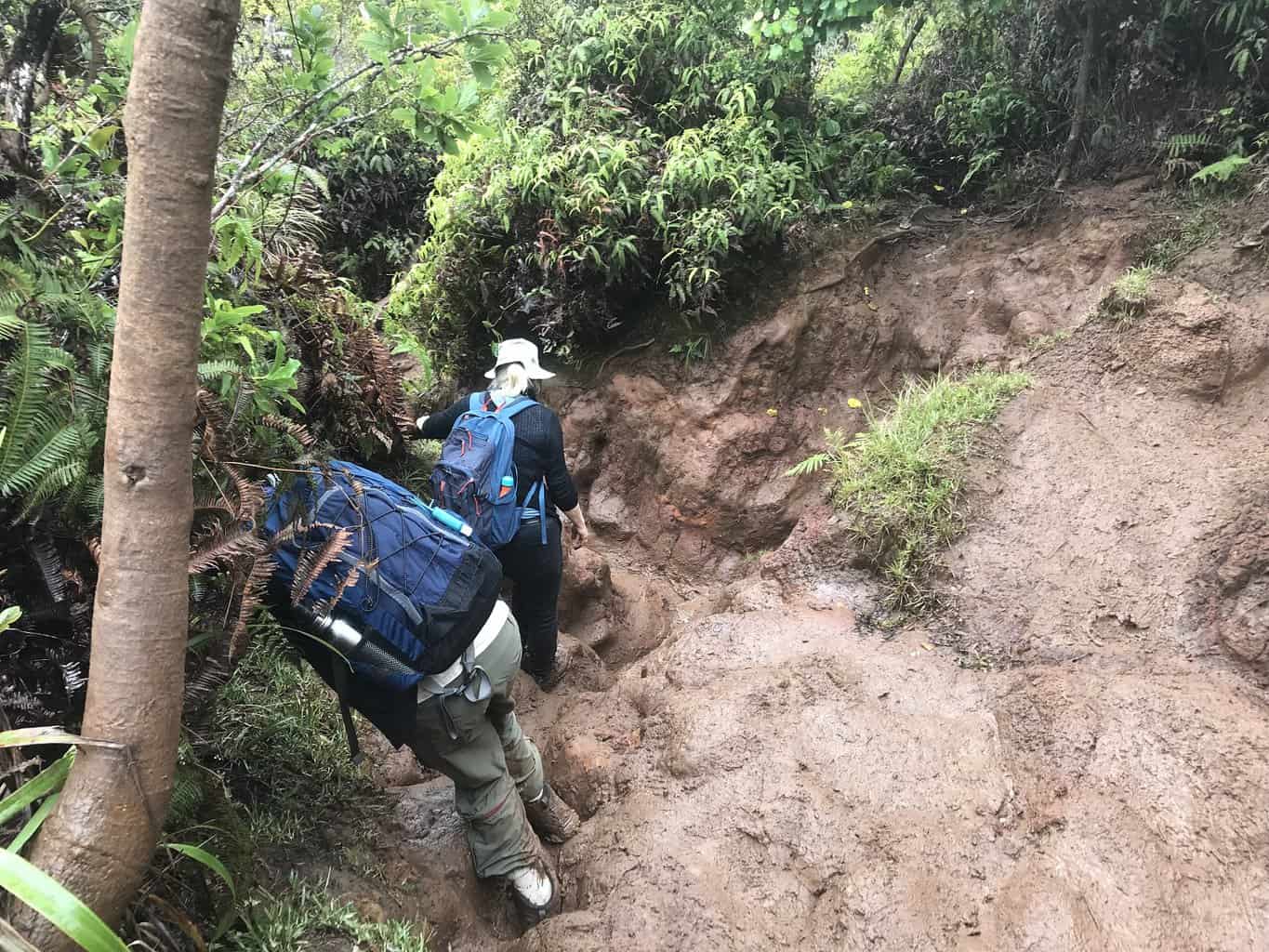
The trail can be very slippery and muddy during and after rain.
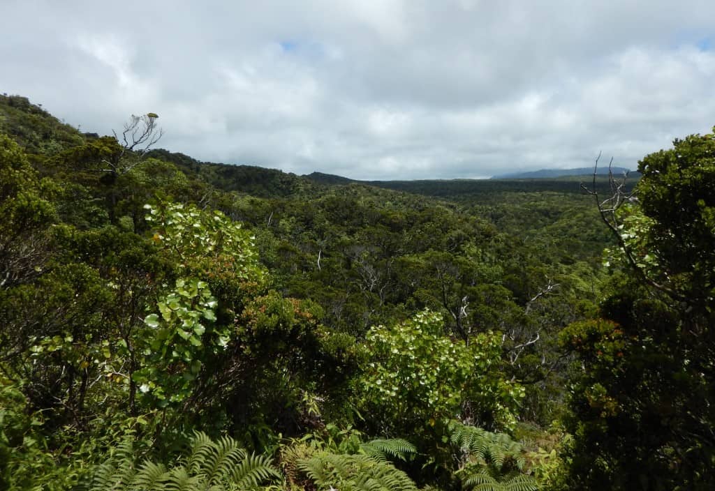
Along the way are viewpoints of Kauai’s lush interior.
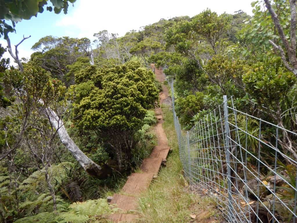
The first part of the trail follows a fenceline.
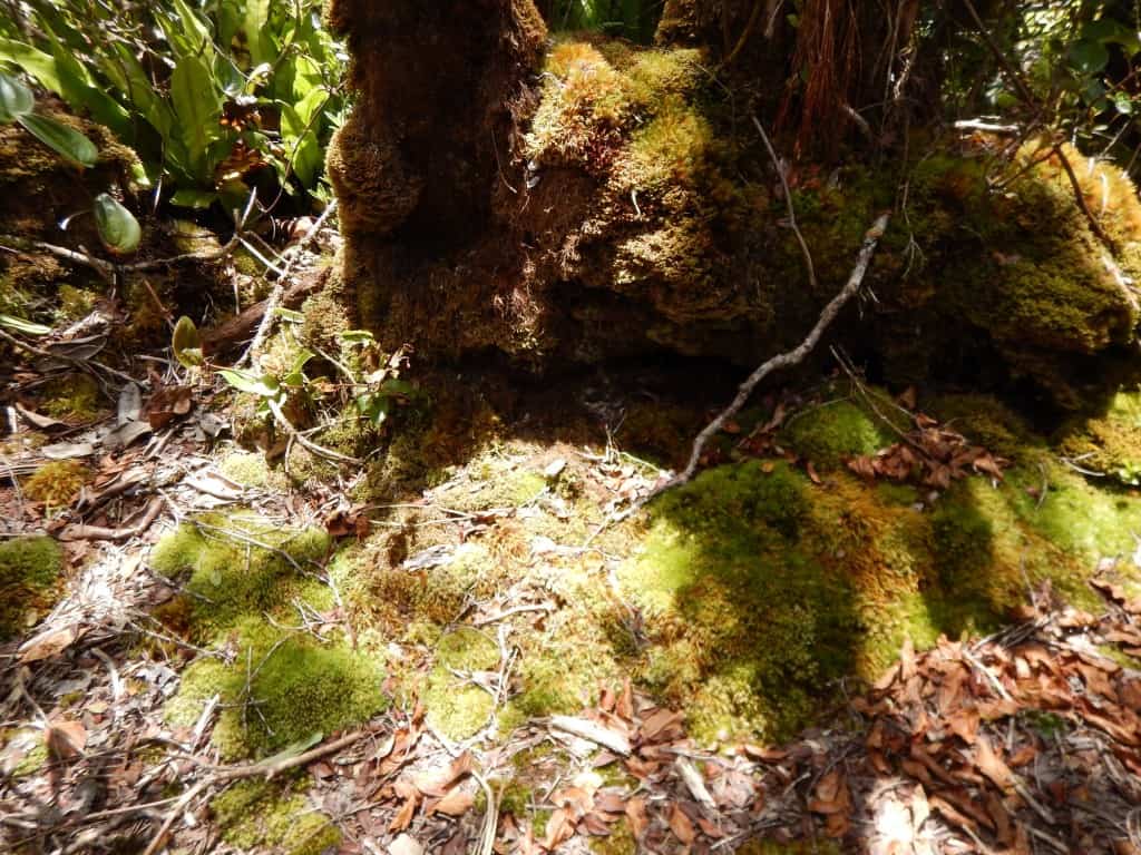
Abundant ferns and mosses can be found along the trail.
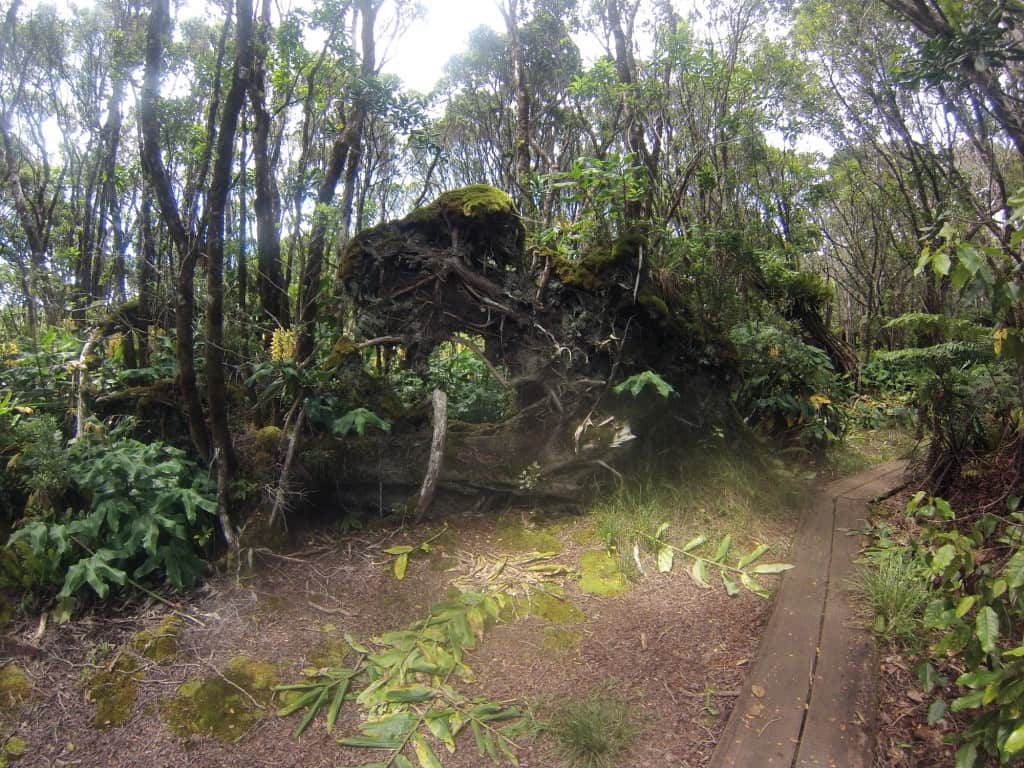
Is that a T-Rex?
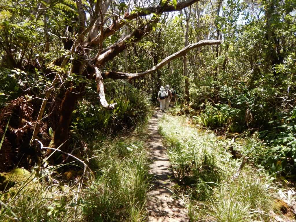
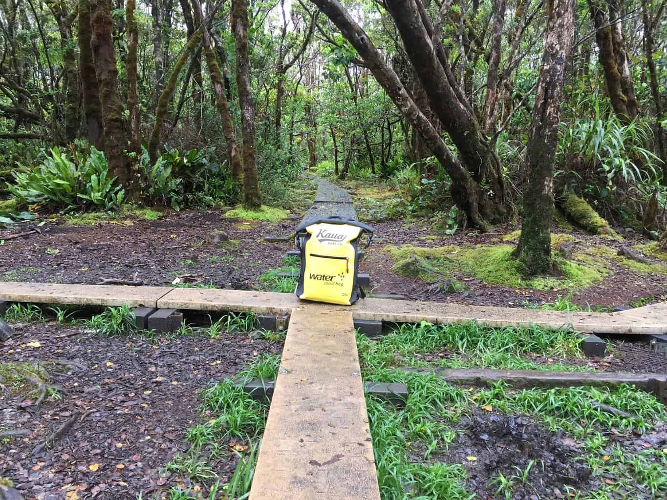
Take a left at the four-way intersection (if you’re coming from the Pihea Trail).
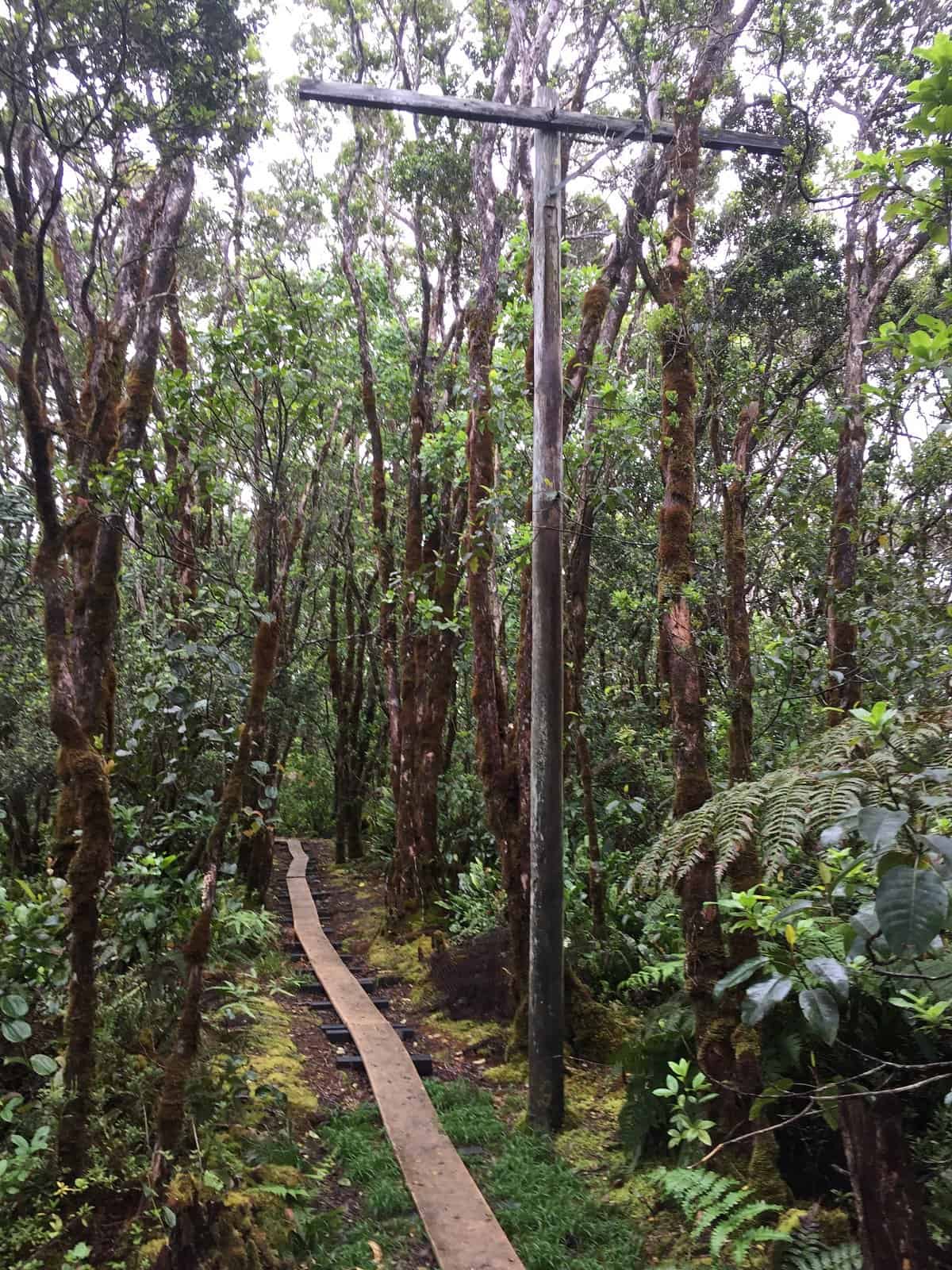
You may notice your first telephone pole at the four-way intersection. The poles are actually from a top-secret World War 2 Army Signal Corps project in late 1943 to provide an alternative communications link for the U.S. Military radar station at Koke’e in case of a Japanese attack at the airfield.
The swamp was not the best place to plant poles and work was slow-going. A steady convoy of heavily-laden mules transported equipment until the bogs became too deep. The men had to carry 65-pound bundles of wire and drag the remaining telephone poles for the last segment.
While the work was ongoing in the Alakai Swamp, another group was working from the Haena side. A company of men stationed at Camp Naue worked their way up the Wainiha Valley. The two sides linked up when Oelrich and his men dropped wire almost straight down from Kilohana, now the famous lookout at the end of the Alakai Swamp Trail.
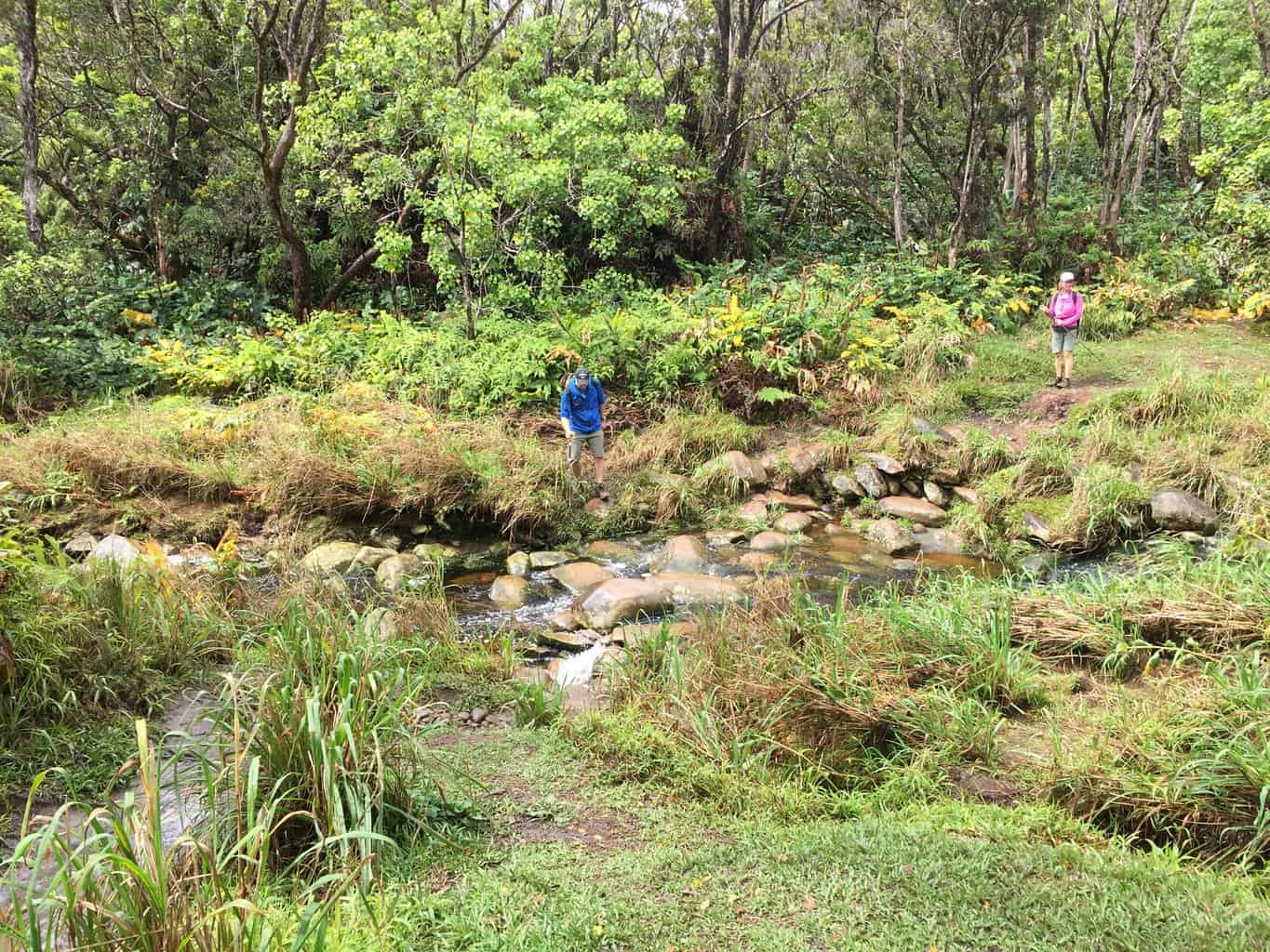
After the four-way intersection, you will descend the boardwalk stairs to the stream crossing.
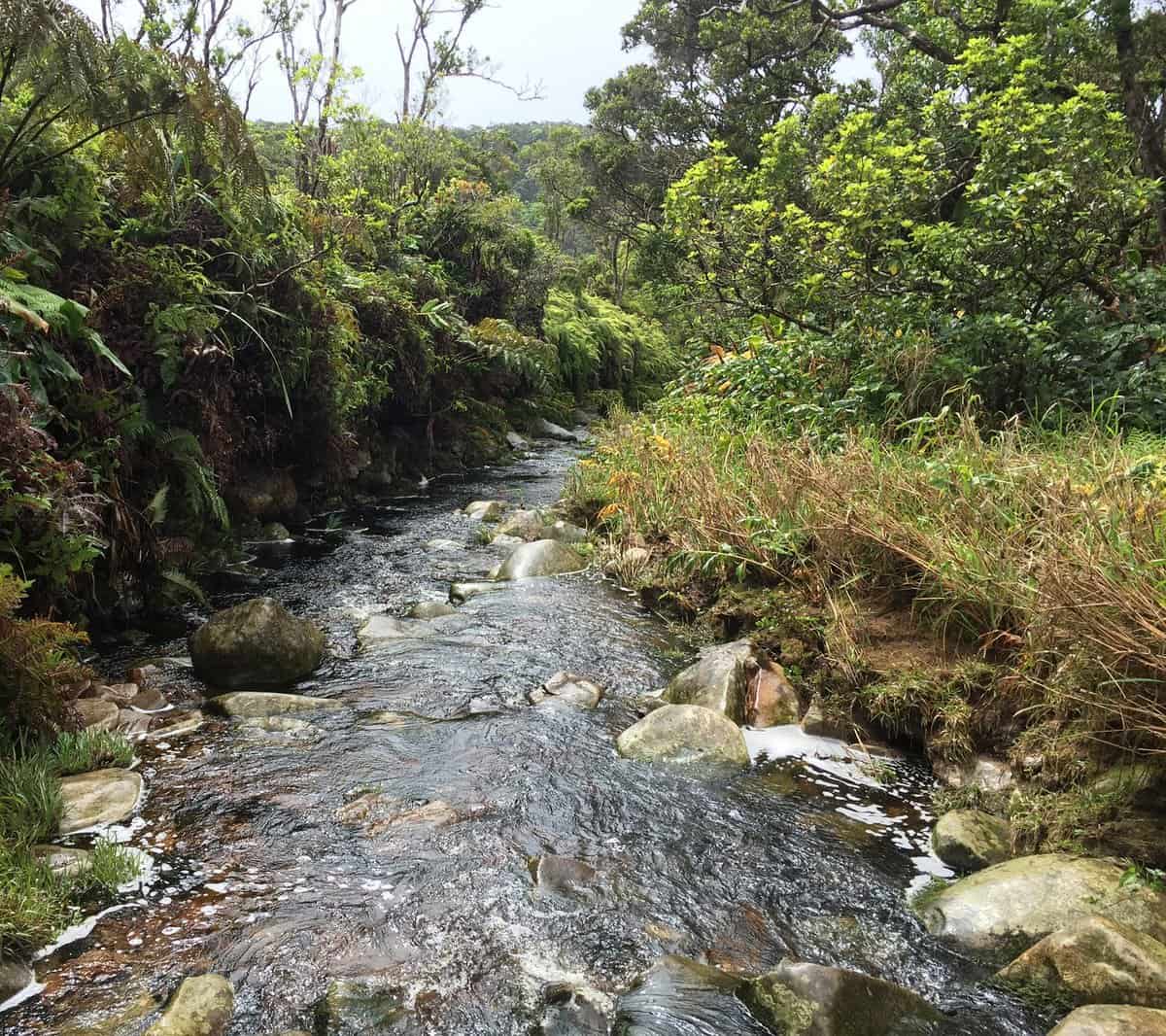
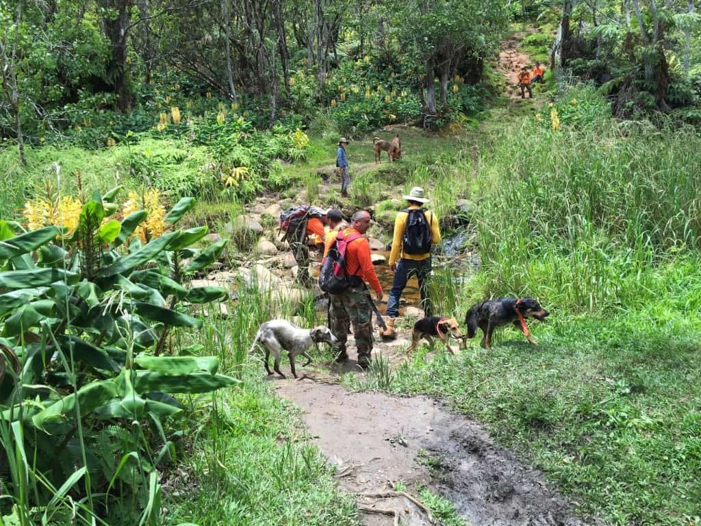
Wild boar hunters at the stream crossing.
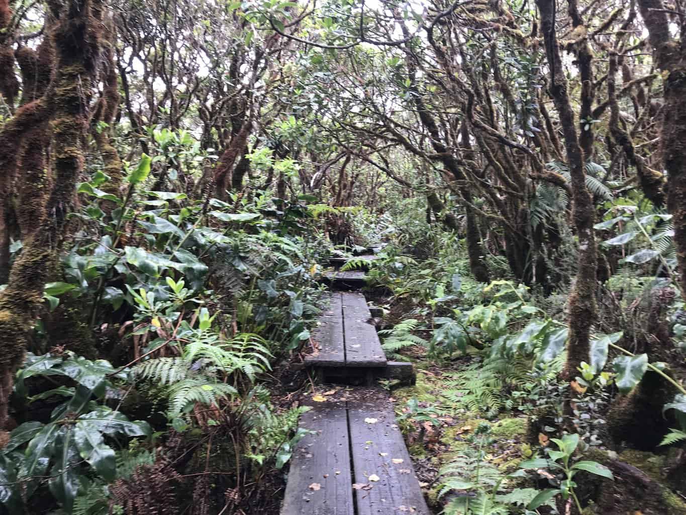
After the stream crossing you will ascend to an open plateau.
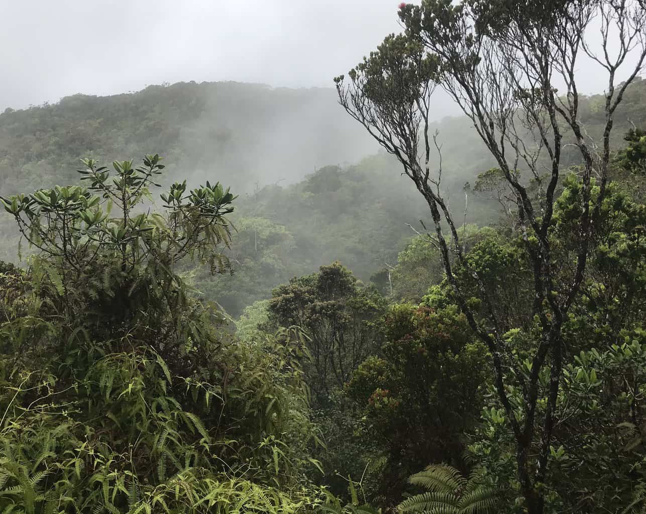
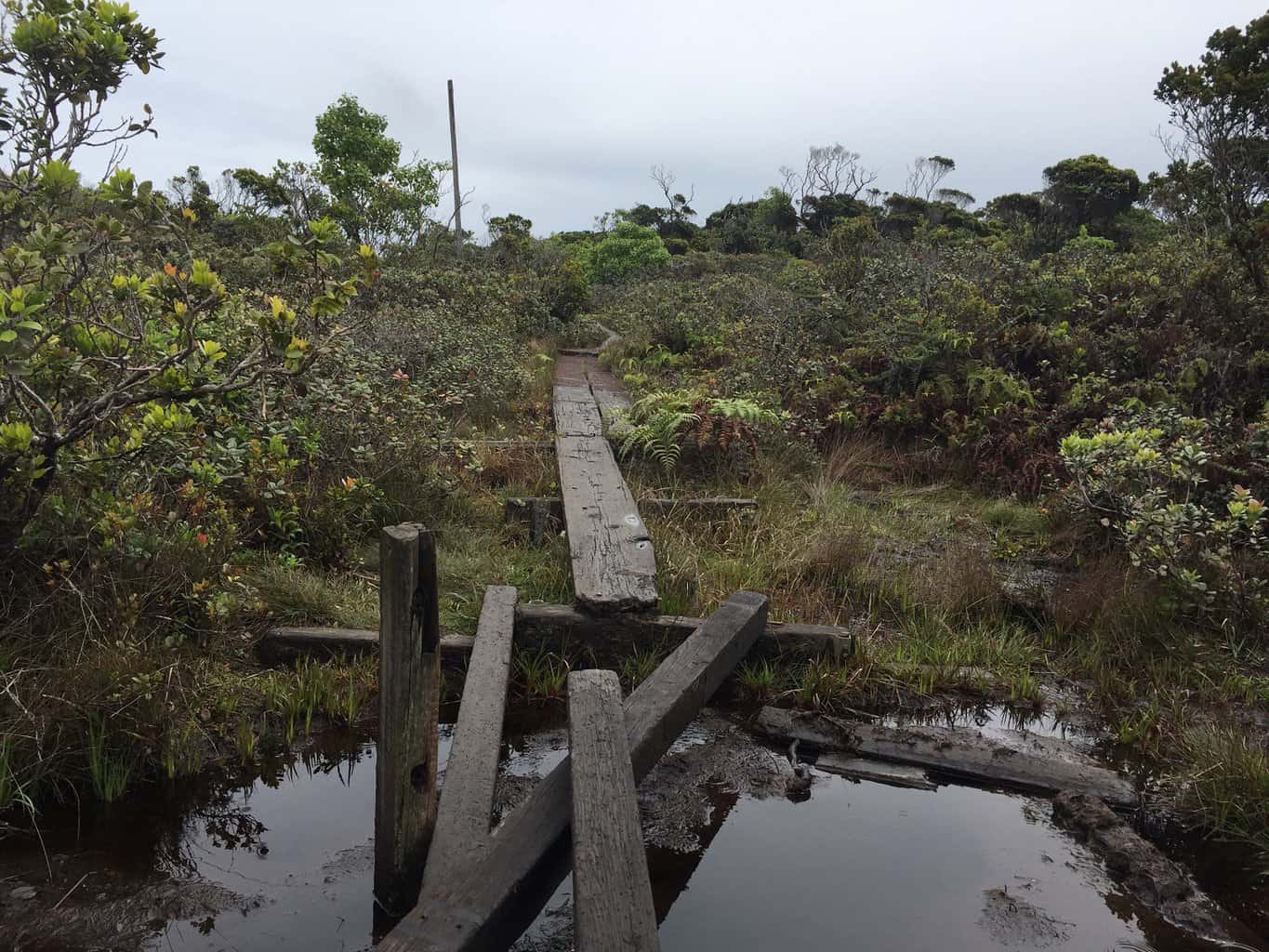
Watch your step. Portions of the boardwalk are damaged.
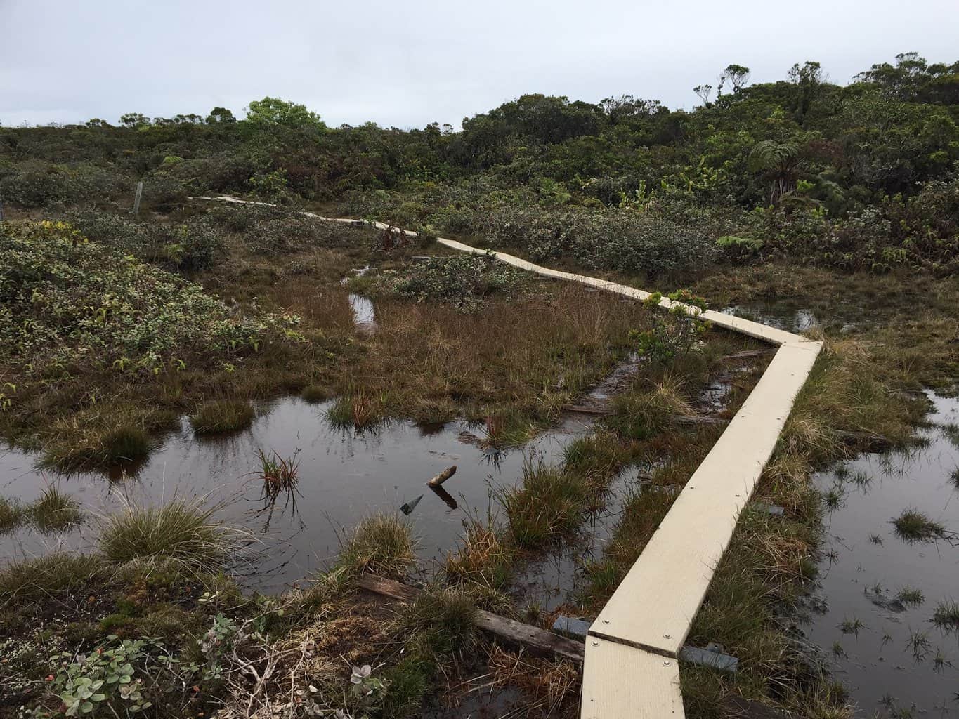
Continue along the boardwalk until you reach the end of the trail at the Kilohana Lookout.

Leave a comment