Is Kauai really the wettest place on Earth? It’s a claim that is often mentioned about the island. With recent epic record-breaking rains, there is a good argument to be made that Kauai is the wettest, but there are also several other locations that receive comparable amounts of rainfall.
Nurturing rains are frequent and substantial on Kauai, giving the “Garden Island” its signature lush greenery. Mt. Waialeale, near the island’s center, is one of the wettest spots on earth, averaging more than 450 inches of rain per year.
In 1982, a record 683 inches of rain were recorded on the peak. In April 2018, the island set the record for the most-ever rainfall in the United States in a 24-hour period with 49.69 inches of rain!
Indeed, Kauai is one of the wettest places on Earth, ranking in the Top Ten Wettest Places on Earth. Depending on the list, Kauai is ranked from 1st to 8th as the wettest spot. The Guinness Book of World Records and the Weather Channel quote an average of 451 inches of rain per year for Mt. Waialeale, and that is the figure we use for the list below, placing Kauai 5th.
Professor C. Donald Ahrens quotes 460 inches of rain per year for Mt. Waialeale in college textbooks while noted Dutch meteorologist Erwin Kroll claims 510 inches, which would make Kauai the wettest place on Earth!
In fact, in 2018, Mount Waialeale received an incredible 519 inches of rain for the year according to the National Weather Service, placing Kauai first by a substantial margin. Nevertheless, if Kauai isn’t the wettest place on Earth, it is very close.
Wettest Places on Earth by Average Rainfall
1. Mawsynram, India (467 inches per year)
2. Cherrapunji, India (463 inches per year)
3. Tutendo, Colombia, South America (463 inches per year)
4. Cropp River, New Zealand (453 inches per year)
5. Mt Waialeale, Kauai, Hawaii (451 inches per year)
6. Bioko Island, Equatorial Guinea (411 inches per year)
7. Debundscha, Cameroon, Africa (405 inches per year)
8. Big Bog, Maui, Hawaii (404 inches per year)
9. Kukui, Maui, Hawaii (365 inches per year)
10. Emei Shan, Sichuan Province, China (321 inches per year)
Several factors contribute to the record rainfall on Kauai. Kauai is the northernmost island of the Hawaiian chain, providing more exposure to storm systems than the other islands. Persistent easterly trade winds bring substantial moisture from the ocean against Kauai’s steep mountainsides.
As for Mt. Waialeale, the steep cliffs cause the moisture-laden air to rise rapidly, then dump a large portion of rain in one spot. Additionally, the mountain lies just below an inversion layer of 6,000 feet, keeping rain-producing clouds close.
If you’re a potential tourist to Kauai don’t let these numbers scare you. Mt. Waialeale is almost inaccessible at the island’s center. The main tourist areas receive much less rainfall. Even on Kauai’s verdant North Shore, the town of Hanalei averages 78 inches of rain per year.
The towns of eastern Kauai, including Anahola, Kealia and Kapaa, receive from 40-60 inches of rain per year, while sunny Poipu on the island’s southern shore receives from 30-40 inches of rain per year. Western Kauai is more arid, receiving an average maximum of 30 inches of rain per year. It is important to note that a significant portion of this rainfall occurs at night.
Also, it tends to rain more in the winter months than the summer months, but substantial rains can occur at any time of the year.

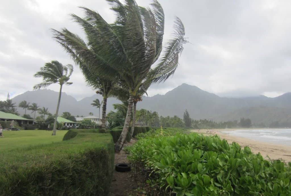
A winter storm at Hanalei Bay.
When you’re visiting Kauai, it is important to be prepared and flexible. It can rain at a moment’s notice anywhere on the island. Rains can last from a few minutes to a few days.
Be prepared with moisture-wicking clothing and light rain jackets. If it appears that rains won’t be going away anytime soon in your area, head to another part of the island such as Kapaa, Poipu or Waimea.
Recently, the island of Kauai has experienced several significant rainfall events, including the record-breaking April 2018 thunderstorms that saw significant flooding on the North Shore and elsewhere on the island.
Hurricane Lane in August 2018, the wettest tropical cyclone on record in Hawaii, added to the damages. A winter storm in February 2019 pounded Kauai shorelines with substantial and invasive surf. During these times, and at all times, it is important to heed weather alerts and beach closings on the island.

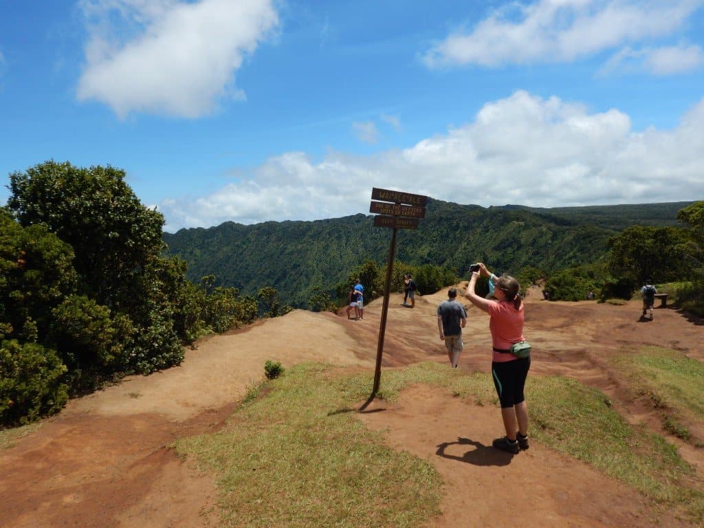
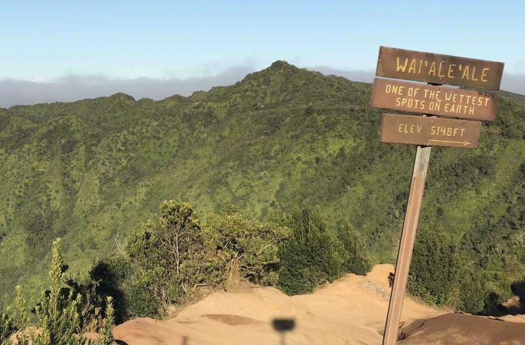
An oft-photographed sign at the Puu o Kila Lookout at the start of the Pihea Trail reads:
WAI’ALE’ALE
ONE OF THE WETTEST
SPOTS ON EARTH
ELEV. 5148FT
Years ago (in the 1950s) there was a plan to build a road from this point to the town of Haena on Kauai’s North Shore. If successful, there would have been a road around almost the entire perimeter of Kauai.
But the proposed route led through the nearby Alakai Swamp (the world’s highest swamp) located on the western slope of Mt. Waialeale. The ground, if you can call it that, of the Alakai Swamp was so saturated with rainwater and runoff from Mt. Waialeale that it mired both workers and machinery, and the project was canceled.
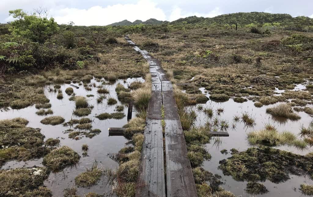
Today, the Pihea Trail and the Alakai Swamp Trail lead along the general path of the proposed road. The trail consists of raised boardwalk above the swamp, otherwise access by foot through the swamp would be near impossible.

Frequent rains and runoff from Mt. Waialeale have created the world’s highest swamp.


Leave a comment